NWS not yet expecting flooding from melting snow
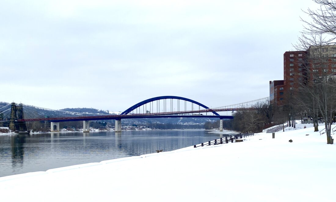
Snow still covers the ground at Wheeling's Heritage Port more than a week after a winter storm dumped several inches of snow on the Ohio Valley. The National Weather Service in Pittsburgh said it was not yet predicting flooding from melting snow next week. Temperatures are predicted to rise well above freezing. (Photo by Derek Redd)
WHEELING – With the Ohio Valley’s weather expected to warm up next week, that should lead to much of the snow still piled up around the region melting faster. Yet weather experts aren’t yet expecting any flooding to occur from that melt – even as more snow is forecast for later this week.
Several inches of snow still cover much of the Ohio Valley following the winter storm that blew through January 24 and 25. Frigid temperatures since then, sometimes dropping below zero at night, have kept that snow from melting away.
The National Weather Service’s Pittsburgh office is going to keep an eye on the situation, explained Alicia Miller, hydrologist with the NWS. Hydrologists are responsible for monitoring action on the rivers such as ice jams.
“We are going to have to start watching for snow melts. We have to watch potentially for ice movement,” she said. “But I can’t say we’re projecting (flooding).”
She noted that a clipper system is forecasted to come through the area on Thursday into Friday.
“Right now, we are expecting one to three inches of accumulation for the Ohio Valley,” Miller continued. “After that, temperatures that are relatively warmer from what we have been having then will drop down before warming up again for next week.”
The rise and fall then rise again of the temperature can lead to flooding, she added
“As we warm up during the day there will be freezing at night. It’s hard to understand, but this will gradually allow for the snow to warm up so it will melt faster,” Miller explained.
And faster melting means more chance of flooding.
“Right now, the forecast is to have a gradual warm up going into next week. We have to watch how that transpires,” she said.
The Ohio Valley has seen what rapidly melting snow can do to spur flooding. The 11th-highest recorded crest of the Ohio River in Wheeling – 45.4 feet, which is more than 10 feet above flood stage – came in January 2006 due to heavy rains, rapid snow melt and ice jams along the river. That flood caused more than $13 million in damage.
Current NWS forecasts predict an 80% chance of snow showers beginning after 1 a.m. Friday. Snowfall will happen mostly before 1 p.m., with a high near 34 degrees. Snow should continue Friday night into Saturday, when the low temperature is expected to drop to about 10 degrees.
Saturday is predicted to be partly sunny, with a high near 21 degrees and a low of 6 degrees. Sunday there will be high near 23 degrees, with an expected low around 3 degrees.
Monday’s high is forecasted at 27 degrees. The future outlook has temperatures going into the 40s throughout next week.
Local News

Oglebay Institute’s Stifel Fine Arts Center and St.Clairsville Rec Department are teaming up

NWS not yet expecting flooding from melting snow

House passes bill to end the partial government shutdown, sending the measure to Trump
Faber: Auditors office investigates fraud controls in Ohio
Residents of the Ohio village of Ashley who made their utility payments each month had no way of knowing that some ...

Run for Justice 5K and snow-removal efforts discussed in St. Clairsville